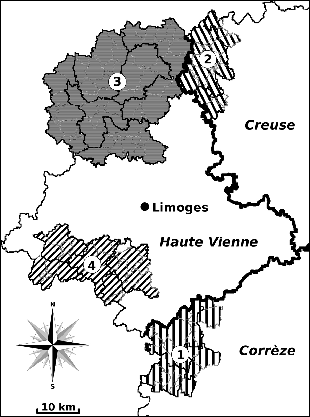
Figure 1.
Download original image
Map showing the geographical location of the 162 cattle- and sheep-breeding farms in the departments of Corrèze, Creuse, and Haute Vienne (Central France). Natural regions: 1, western plateaus of Corrèze; 2, north-western and western plateaus of Creuse; 3, northern third of Haute Vienne; and 4, south-west and south of the same department.
Current usage metrics show cumulative count of Article Views (full-text article views including HTML views, PDF and ePub downloads, according to the available data) and Abstracts Views on Vision4Press platform.
Data correspond to usage on the plateform after 2015. The current usage metrics is available 48-96 hours after online publication and is updated daily on week days.
Initial download of the metrics may take a while.